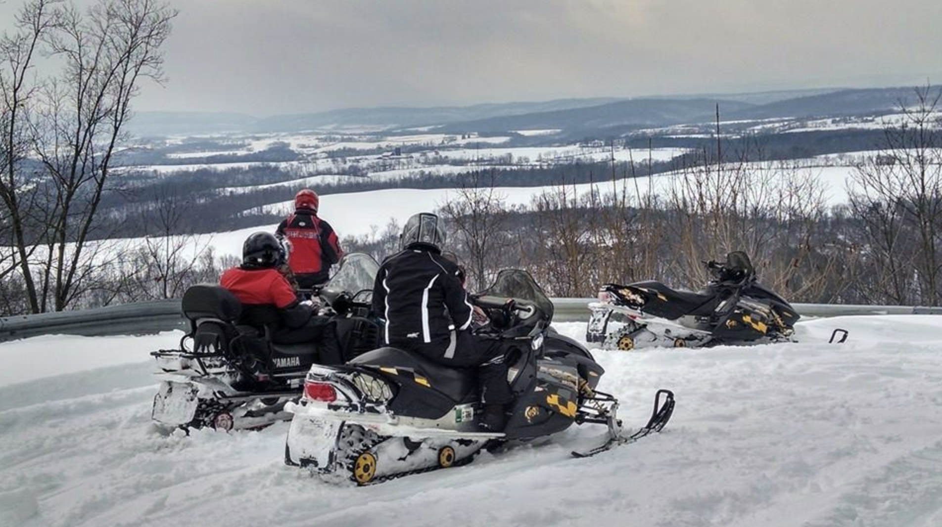
Details: For details on the Forest, visit the DCNR page for Sproul State Forest. Snow conditions may be found at http://www.apps.dcnr.state.pa.us/forestry/snowmobile/northcentral.aspx
Grooming/Joint Use Roads: Sproul State Forest, District 10, encompasses 310.4 miles of joint use roads. This season DCNR advises that the following roads may be plowed to accommodate gas & timber operations:
Allen Dam Rd
Barneys Ridge Rd
Beech Creek Rd (Eagleton to Rt. 144)
Big Basin Rd
Carrier Rd
Clubhouse Rd
DeHass Rd
Dry Run Rd (south)
Dry Run Rd (north – Abes to Benson)
Eddy Ridge Rd
Fields Ridge
Fisher Fire Rd
Hensel Fork Rd
Jews Run Rd
Kato/Orviston Rd
Montour Rd
Panther Rd
Pat’s Ridge Rd
Penrose Rd
Petes Run Rd
Pfoutz Valley Rd
Quarter Mile Rd
Robbins Farm Rd
Sandy Run Rd
Shintown Run Rd
Shoemaker Rd
State Line Rd
Trout Run Rd
Sugar Camp Rd (off Kettle Creek Road)
Two Mile Rd/Boyer Trail Yost Ridge Rd
Location: The Cooks Run Division Trail is located in Sproul State Forest, Clinton County, near the center of the 12 county region (1.5 million acres of State Forest and Game Land) designated as the “Pennsylvania Wilds” in the North Central Mountain Region.
